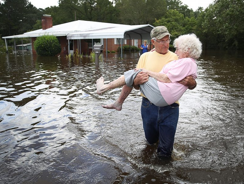
In a fresh look at flood risk, a new model estimates that more Americans live in at-risk areas surrounding small flood-prone streams. FEMA mapping currently covers only about 60% of the conterminous United States and may not represent headwater areas and smaller floodplains.


